- City of Coquitlam Archives
- City of Coquitlam fonds
- Aerial Photographs
- Aerial Photographs - 1969
Aerial Photographs - 1969
file1969F17-S21-F02
187 of 187 descriptions below digitizedOpen enclosing description at source ↗Search source for this title ↗
This description was harvested from its parent's finding aid, but the source catalogue gave no direct link for it. The link opens the nearest enclosing description; look there for F17-S21-F02.
Digitized below this file
187 images · showing 1–48 · displayed from City of Coquitlam Archives's own server
 Flight Path Legend Map 1969
 Flight Path #1 - BC5325-029
 Flight Path #1 - BC5325-030
 Flight Path #1 - BC5325-031
 Flight Path #1 - BC5325-032
 Flight Path #1 - BC5325-033
 Flight Path #1 - BC5325-034
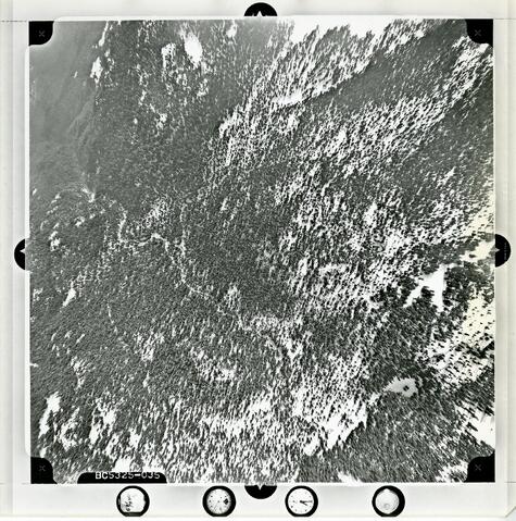 Flight Path #1 - BC5325-035
 Flight Path #1 - BC5325-036
 Flight Path #1 - BC5325-037
 Flight Path #1 - BC5325-038
 Flight Path #1 - BC5325-039
 Flight Path #1 - BC5325-040
 Flight Path #1 - BC5325-041
 Flight Path #1 - BC5325-042
 Flight Path #1 - BC5325-043
 Flight Path #1 - BC5325-044
 Flight Path #1 - BC5325-045
 Flight Path #1 - BC5325-046
 Flight Path #1 - BC5325-047
 Flight Path #1 - BC5325-048
 Flight Path #1 - BC5325-049
 Flight Path #1 - BC5325-050
 Flight Path #1 - BC5325-051
 Flight Path #1 - BC5325-052
 Flight Path #1 - BC5325-053
 Flight Path #1 - BC5325-054
 Flight Path #1 - BC5325-055
 Flight Path #2 - BC5325-112
 Flight Path #2 - BC5325-113
 Flight Path #2 - BC5325-114
 Flight Path #2 - BC5325-115
 Flight Path #2 - BC5325-116
 Flight Path #2 - BC5325-117
 Flight Path #2 - BC5325-118
 Flight Path #2 - BC5325-119
 Flight Path #2 - BC5325-120
 Flight Path #2 - BC5325-121
 Flight Path #2 - BC5325-122
 Flight Path #2 - BC5325-123
 Flight Path #2 - BC5325-124
 Flight Path #2 - BC5325-125
 Flight Path #2 - BC5325-126
 Flight Path #2 - BC5325-127
 Flight Path #2 - BC5325-128
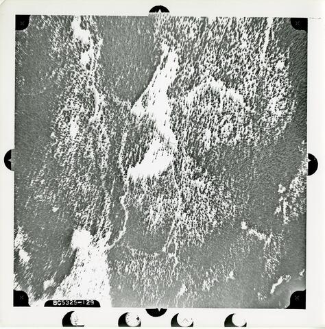 Flight Path #2 - BC5325-129
 Flight Path #2 - BC5325-130
 Flight Path #2 - BC5325-131
Where
- Held by
- City of Coquitlam Archives via City of Coquitlam Archives
- Creator
- British Columbia. Dept. of Lands, Forests, and Water Resources
- Dates
- 1969 (indexed as 1969)
- Level
- file
- Extent
- 186 photographs : b&w ; 23 x 23 cm 1 map : 17 x 23 cm
- Scope & content
- The file consists of aerial photographs of the Coquitlam area organized by flight path.
- Places
- Coquitlam, BC
- Location
- Coquitlam, BC · city · confidence 90% · city:geonames · found as “Coquitlam”
- Genre / form
- Photographs; Maps
- Harvested
- 2026-10-17T12:57:24Z · source datestamp n/a · ead