- City of Coquitlam Archives
- City of Coquitlam fonds
- Aerial Photographs
Aerial Photographs
series1991; 1987; 1981; 1975; 1973; 1963 - 1991F17-S21
330 of 337 descriptions below digitizedOpen enclosing description at source ↗Search source for this title ↗
This description was harvested from its parent's finding aid, but the source catalogue gave no direct link for it. The link opens the nearest enclosing description; look there for F17-S21.
Digitized below this series
330 images · showing 1–48 · displayed from City of Coquitlam Archives's own server
 Aerial Photographs - 1963
 Flight Path Legend Map 1963
 Flight Path #1 - BC 5060:24
 Flight Path #1 - BC 5060:25
 Flight Path #1 - BC 5060:26
 Flight Path #1 - BC 5060:27
 Flight Path #1 - BC 5060:28
 Flight Path #1 - BC 5060:29
 Flight Path #1 - BC 5060:161
 Flight Path #1 - BC 5060:162
 Flight Path #1 - BC 5060:163
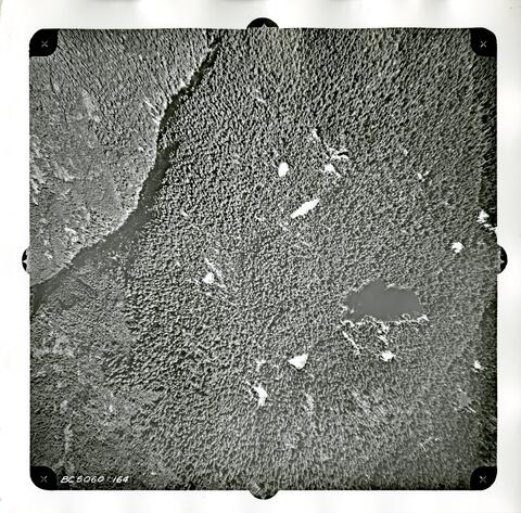 Flight Path #1 - BC 5060:164
 Flight Path #1 - BC 5060:165
 Flight Path #1 - BC 5060:166
 Flight Path #1 - BC 5060:167
 Flight Path #1 - BC 5060:168
 Flight Path #1 - BC 5060:170
 Flight Path #1 - BC 5060:171
 Flight Path #1 - BC 5060:172
 Flight Path #1 - BC 5060:173
 Flight Path #1 - BC 5060:174
 Flight Path #1 - BC 5060:175
 Flight Path #1 - BC 5060:176
 Flight Path #1 - BC 5060:177
 Flight Path #1 - BC 5060:178
 Flight Path #1 - BC 5060:179
 Flight Path #1 - BC 5060:180
 Flight Path #1 - BC 5060:181
 Flight Path #1 - BC 5060:182
 Flight Path #1 - BC 5060:183
 Flight Path #2 - BC 5059:189
 Flight Path #2 - BC 5059:190
 Flight Path #2 - BC 5059:191
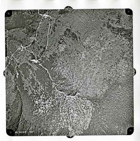 Flight Path #2 - BC 5059:192
 Flight Path #2 - BC 5059:193
 Flight Path #2 - BC 5059:194
 Flight Path #2 - BC 5059:195
 Flight Path #2 - BC 5059:196
 Flight Path #2 - BC 5059:197
 Flight Path #2 - BC 5059:198
 Flight Path #2 - BC 5059:199
 Flight Path #2 - BC 5059:200
 Flight Path #2 - BC 5059:201
 Flight Path #2 - BC 5059:202
 Flight Path #2 - BC 5059:203
 Flight Path #2 - BC 5059:204
 Flight Path #2 - BC 5059:205
 Flight Path #2 - BC 5059:206
Where
Not on the map yet.
- Held by
- City of Coquitlam Archives via City of Coquitlam Archives
- Creators
- District of Coquitlam. Planning Department; Pacific Survey Corporation; Lockwood Survey Corporation Ltd.; British Columbia. Dept. of Lands, Forests, and Water Resources
- Dates
- 1991; 1987; 1981; 1975; 1973; 1963 - 1991 (indexed as 1991)
- Level
- series
- Extent
- 1323 photographs : b&w and col. ; various dimensions 8 maps : various dimensions 1 cm of textual records
- Scope & content
- The series consists of aerial photographs taken by the Department of Lands, Forests, and Water Resources in 1963 and 1969.
- Location
No place found in this description yet.
- Genre / form
- Graphic material; aerial photographs
- Format
- Photograph
- Access & use
- The aerials from 1963 and 1969 are Public Domain. The rest are under copyright and cannot be reproduced. An appointment can be made to view these materials.
- Harvested
- 2026-10-17T12:57:24Z · source datestamp n/a · ead