- City of Coquitlam Archives
- City of Coquitlam fonds
- Photographs and Slides - Engineering and Public Works
- Aerial and Development Photographs
Aerial and Development Photographs
file1987F17-S13-F04
49 of 49 descriptions below digitizedOpen enclosing description at source ↗Search source for this title ↗
This description was harvested from its parent's finding aid, but the source catalogue gave no direct link for it. The link opens the nearest enclosing description; look there for F17-S13-F04.
Digitized below this file
49 images · showing 1–48 · displayed from City of Coquitlam Archives's own server
 Addington Point, looking east
 Widgeon Slough and Grant Narrows, looking north
 Glenbrook Street, looking north at "Hall" subdivision
 Town Centre Park, LaFarge Lake, and Fire Hall No. 1, facing south
 Town Centre Housing, C8.2 - Walton West Planning Area, facing south
 Eagle Ridge Area, looking south
 Southwest Coquitlam, Como Lake in Centre, looking south
 Eagle Ridge, with Westwood Plateau in background, looking north
 Eagle Ridge Area, Barnet Highway, looking north to Westwood Plateau
 Ranch Park, looking north to Eagle Ridge Area, with new subdivision south of Barnet
 Barnet Highway, looking north to Westwood Plateau
 Riverview Development, from Ranch Park, facing south
- Coquitlam Centre and Sunwood Square, looking north to Westwood Plateau
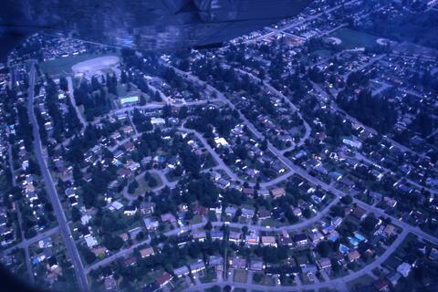 Sunwood Square and Westwood Street, and Pipeline Road looking north
 Colony Farm, Mayfair Industrial Park, Coquitlam River and Fraser River, looking southwesterly
 Port Coquitlam, Mary Hill Area, looking west
 Riverview Housing, looking north
 Colony Farm, Mayfair Industrial Park, looking northwest
 2978 Walton Street, Sayni townhousing
 1140 Dufferin Street
 Meridian Heaights Farmers' Institute (Dogpatch) Hall
 Meridian Heaights Farmers' Institute (Dogpatch) Hall
 Meridian Heaights Farmers' Institute (Dogpatch) Hall
 Meridian Heaights Farmers' Institute (Dogpatch) Hall
 Leigh Elementary School
 Partington Creek Bridge
 1391 Gilley's Road, Rural Scene in Northeast Coquitlam
 Rural Scene on Gilley's Road in Northeast Coquitlam
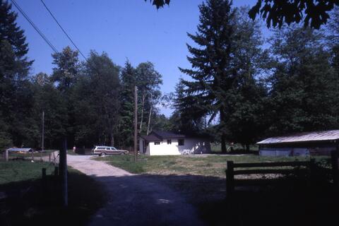 Rear of Minnekhada Stables
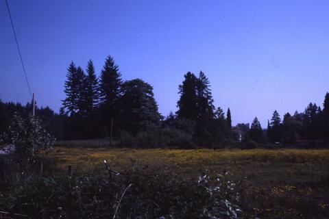 Rear of Minnekhada Stables
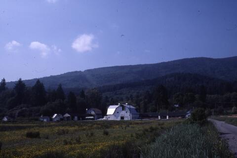 Rear of Minnekhada Stables
 Minnekhada Riding Stable, Burke Mountain background, looking north
 Minnekhada Stables Riding Area, looking northeast
 Oliver Road, with blueberry farms south of road, looking southeast
 Blueberry bushes south of Oliver Road
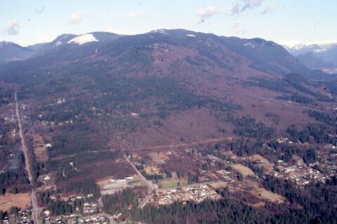 Minnekhada Stables, from Oliver Road, Burke Mountain in background, facing north
 Aerial of Coquitlam
 Aerial of Coquitlam
 Aerial of Coquitlam
 Aerial of Coquitlam
 Aerial of Coquitlam
 Aerial of Coquitlam
 Aerial of Coquitlam
 Aerial of Coquitlam
 Aerial of Coquitlam
 Aerial of Coquitlam
 Aerial of Coquitlam
 Aerial of Coquitlam
Where
Not on the map yet.
- Held by
- City of Coquitlam Archives via City of Coquitlam Archives
- Dates
- 1987 (indexed as 1987)
- Level
- file
- Extent
- 49 photographs : col. slides
- Scope & content
- The file consists of aerial photographs as well as photographs of housing developments.
- Location
No place found in this description yet.
- Genre / form
- Graphic material
- Harvested
- 2026-10-17T12:57:24Z · source datestamp n/a · ead