- City of Coquitlam Archives
- City of Coquitlam fonds
- Photographs - Planning Department Photographs of Scott Creek
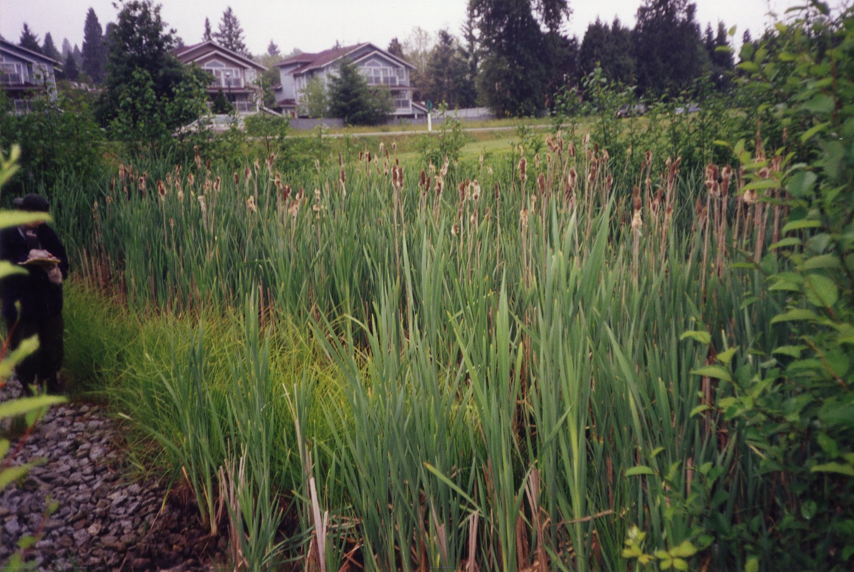
- Scott Creek wetland facing last point "upstream" with Lougheed Highway in background
Scott Creek wetland facing last point "upstream" with Lougheed Highway in background
item[June 2, 1999]F17-S54-F17.008
This description was harvested from its parent's finding aid, but the source catalogue gave no direct link for it. The link opens the nearest enclosing description; look there for F17-S54-F17.008.
Where
Not on the map yet.
- Held by
- City of Coquitlam Archives via City of Coquitlam Archives
- Dates
- [June 2, 1999] (indexed as 1999)
- Level
- item
- Extent
- 1 photograph : col. ; 10 x15 cm
- Scope & content
- The item consists of a photograph of the Scott Creek wetland taken facing last point "upstream" Lougheed Highway in background.
- Location
No place found in this description yet.
- Genre / form
- Graphic material
- Harvested
- 2026-10-17T12:57:24Z · source datestamp n/a · ead
Digital objects at the source
- imageOpen original at source ↗F17.008.jpg